Chandigarh Airport Map for Your Service
Chandigarh Airport Map - Image Resource - skyscrapercity.com
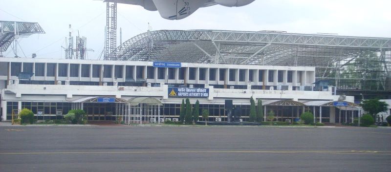
Chandigarh, the capital of two Indian states Punjab and Haryana possesses one of north India's leading airports. At present only Domestic wing is serving passengers and the International terminal is under construction. Actually this airport is located in Mohali (Punjab) but to get rid of any tussle between two states, they both agreed to name it 'Chandigarh airport'. Before being converted into an airport it was an Air force base. Its construction began in January 2010 and only domestic is operating flights currently. The Chandigarh airport map can provide you with the exact information which can surely help you to get there.
Chandigarh airport is just 12 kms away from Chandigarh sector 17 bus stand. You have to head towards north- east to Chandigarh airport. Take a turn to Himalaya marg and you will Income tax and excise office on your left. Going straight take a left to Udhyog path, you will pass close to Khera Shiv Mandir on your left. Now you have to take a right to catch Purv Marg and just after that you have to turn towards the Dakshin Marg and passing one circle and Hyundai showroom on your left, you will get onto Airport road. Passing by Composite hospital on your right, you will get your final destination Chandigarh airport in less than 20 minutes.
Currently Chandigarh airport is connected 26 domestic flights across the India. Air India, Go air, Indigo etc. operate in Chandigarh. In near future International airport will also glorify this beautiful city.